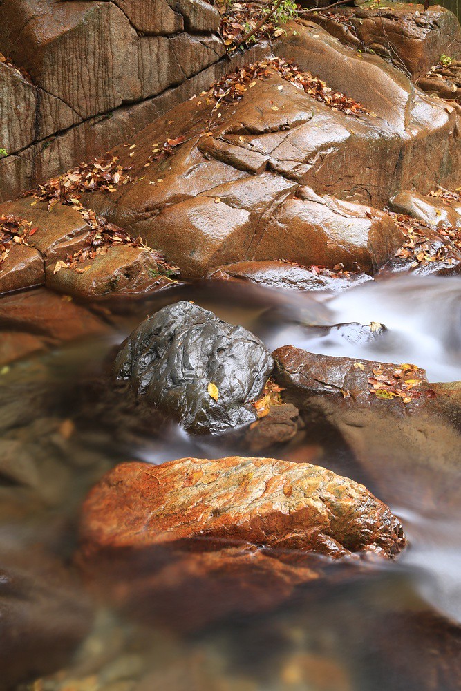
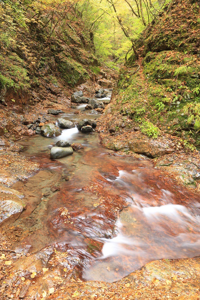
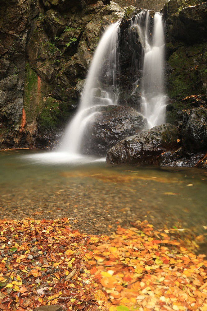
Osugidani Gorge – Another Journey

It was four years ago that I went on my last Journeys in Japan adventure. From 2013 up to 2019, it was an annual event. Then COVID-19 kicked in and the NHK World TV program was put on hold. I had practically given up on it, when the director of the previous episodes in which I had appeared contacted me by email in August and asked if I would be available at the end of September to go to Mie Prefecture.

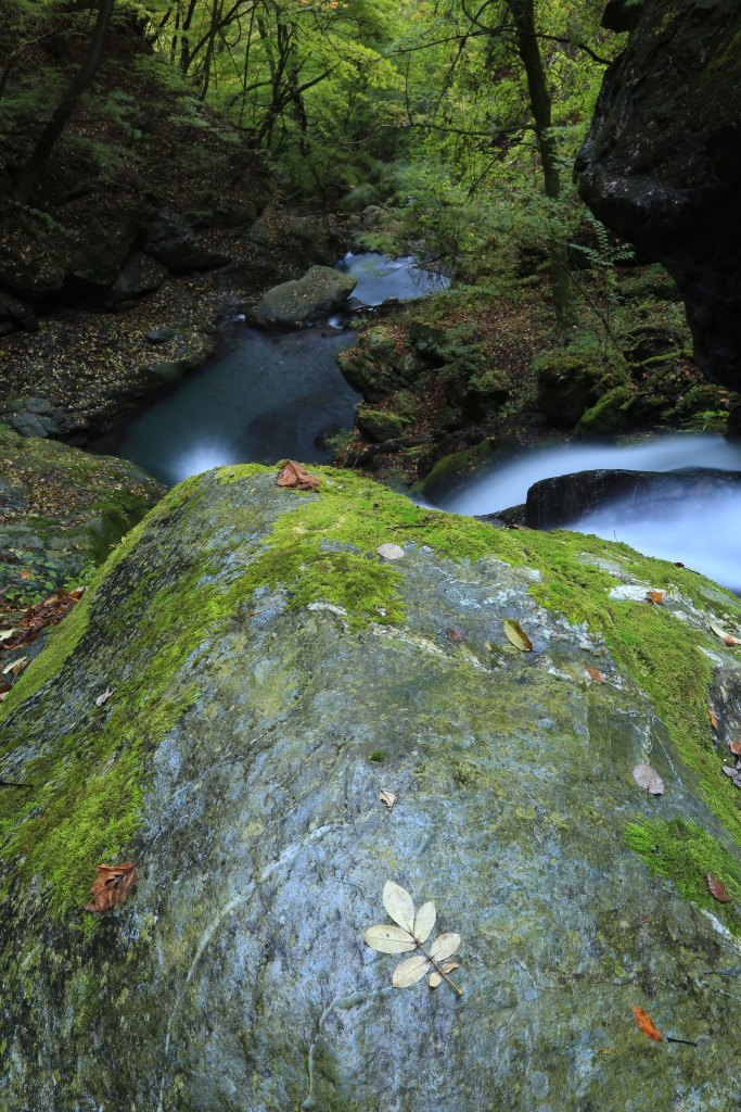
The focus of the journey this time was Miyagawa – the Miya River – which is not only the cleanest river in Japan but also closely associated with the Ise Shrine, home of Japan’s premier goddess, Amaterasu. The shrine is a site worthy of visiting on its own; however, the chief attraction for me was the Osugidani 大杉谷 gorge. It is one of Japan’s top three most beautiful canyons.

One of the main points of the trip was the gathering of quartzite stones to place before the shrine structures. Quartzite is found in the Miya River and along the banks around the area, and the river itself flows along the Median Tectonic Line, one of Japan’s two tectonic lines. Part of the program story was that I would search the river upstream for the source of the quartzite. Yet as we were to discover, the geology upstream took us through other periods, and there was no quartzite to find. I had to conclude that the quartzite was prevalent along the river where it flowed along the tectonic line because the rock forms deep below the crust, and along the tectonic line, it is raised to the surface due to the uplifting caused by the interaction of the plates. Going into the mountains, we stray from the Median Tectonic Line and enter different geologic zones where metamorphic rocks, and later volcanic rock and also limestone appeared.

The program will feature stunning scenery and is due to be aired on November 14th on NHK BS and also will be aired a few times during the day on the NHK World web site and it will be available for view-on-demand for a full year from the original broadcast date.

Journeys in Japan web page

My photos on Flickr.

Exhibition in Chichibu

From July 14th to the 23rd, Koguma-za alpha cafe gallery in Chichibu City, Saitama will host my first cafe gallery exhibition in about 15 or 16 years.

The cafe is located on the second floor of a small house tucked away in a tight little neighbourhood, not far from Chichibu Station. Their specialty is omusubi (Japanese rice balls) served with miso soup. In the centre room on the second floor is a small exhibition space. When I visited at the end of May, an artist displaying her paintings was there not only displaying and selling her paintings, but also selling books, clear files, postcards and other things.

The theme of the exhibition will be local scenery. I made a book of Saitama landscapes a few years ago, and I showed it to the cafe’s proprietor, a couple of customers, and the artist with the paintings. They seemed especially delighted in how I saw and captured Saitama’s natural and rural landscapes. One point that was mentioned was that many scenes made the landscape look so broad. Japanese usually perceive their native landscapes as small, narrow, and tight. I concluded that it must be because I learned about landscape photography in Canada that my way of seeing landscapes is imposed upon the Japanese landscape. Hence, the landscapes in my photos often look more expansive than they real scenes are.

I’ve already given an interview with the local newspaper, so I’m looking forward to hopefully selling some of my old books and stirring up some interest in my work. I report will come once the exhibition is over.

Newspaper article here:

https://chichibu.keizai.biz/headline/493/

Annual Autumn Outing

My, my! It’s been a year since I last posted anything. Well, not a lot has happened. I enjoyed a hike in Tochigi in the spring but never got around to writing about it. And now it’s autumn again and I have finally been out again, my second outing in a year.

I had a plan to visit a good roadside viewpoint for photographing the sunrise and then later explore a canyon I discovered in the spring of last year. However, my plans were thwarted when I found the road to that location was closed. There was probably road washouts caused by some recent typhoon. The ones in 2019 – typhoons 15 and 19 as they are referred to here in Japan – left many mountain roads washed out and subsequently closed to vehicular traffic.

So, I spent the next hour or two trying to make the most of the morning until I found a sign indicated a hike across the river to a waterfall beyond. This is the Fudotaki of the Tochimoto area of Chichibu in Saitama. The river is Arakawa, looking very different here than it does near my home in Kumagaya and certainly different from its concrete course in Tokyo.

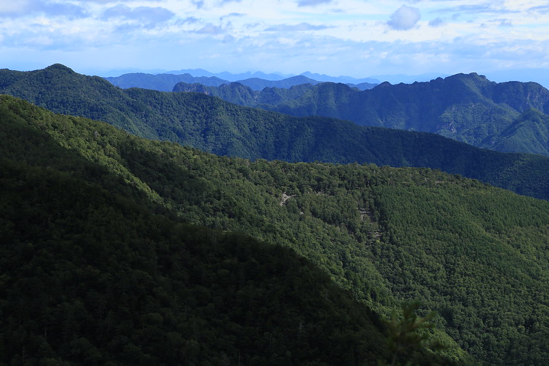
I finished the morning with an exploratory drive up and mountain road that was not marked in full on my car navigation system, and so I just drove until I met a road closure sign. There were some nice mountain views.

Rocks in the canyon of Arakawa
Fudotaki waterfall
Below the falls

Caves of Saitama

Earlier this month I set off for another exploration of the nature in the Chichibu mountain area of western Saitama Prefecture. The original plan had been to visit a canyon I had encountered during the spring. But too many short nights left my body in need of sleep and I had to thank the cat for waking me up at 5 am since I apparently shut off my 4:30 alarm and dozed right off again. So, a late start, and then my plans were thwarted once more as I crossed into Chichibu and found fog in the valley. This led me to make the fruitless decision to head up a road for a view, but I missed the turn and got on a road that led to no view of the valley. After losing another 30 minutes, I decided I was out of time for driving way in to find that canyon. So, as I drove up R140 and thought of where to go, I spied the Kaminiwa Cave across the river and up the slope.

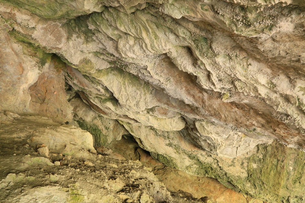
The Kaminiwa Cave is actually two caves close together, one of them referred to as a “half cave” (半洞窟). They have formed in a limestone cliff and are said to have been eroded by the Ara River (Arakawa 荒川) some 50,000 years ago. The cave was used during the Jomon Period by hunters as a shelter while they were away on hunting trips.

Access to the cave is from either downstream by the large torii gate where the path leads up to the trailhead to the route up to Mitsumine Shrine, or further upstream at a campground with a free day-use area. I came in from this way and followed a path a short distance to the cave. At first it appeared to be just a wide hollow under an overhanging cliff face. But I soon discovered there was a low passageway leading to an opening that led to a small but open chamber. To one side, a narrow corridor ran a short distance to a very narrow gap in the rocks with a view to a corridor beyond that soon turned right and disappeared into the darkness. I had only the light of my smartphone to illuminate the inside, though reflected sunlight came in enough to provide a very dim light. A couple of cave crickets sat on the wall at one end where a small gap revealed darkness beyond.

The second cave has a very high opening that has been partly closed with concrete with a door opening cut in. Once inside, it would seem like there’s only this open chamber with a vaulted ceiling. But on the left there are what look like steps cut into the limestone layers. Two large screws with loops for running ropes through were jutting out from the rocks. above the steps, there was a deep shadow. I crouched down and saw that the steps led up a narrow chimney. Holding my light up, I poked my head up into the opening and found a small chamber opened up above. There was a dark opening at the end that suggested that there was another chamber. I was about to clamber up when I noticed two bats were hanging from the ceiling. I wondered how they would respond to my intrusion. I didn’t want to disturb them. But if they began fluttering about, would they panic with a large moving object blocking their entrance? Would they pee on me? Where there more bats in the next chamber? I decided to duck back down again and make a note to return in the future with a proper light, perhaps at night when the bats would likely be out.

There are several caves around Saitama. Perhaps the most famous one is the Hashidate Limestone Cave near Urayamaguchi Station and the Urayama Dam. For a small fee, you can enter this cave, going in via a low tunnel that leads to a large open chamber with interesting cave formations. These formations do not rival Japan’s more famous famous caves but they are still interesting. There are some other shallow caves I have found while out driving, some of them marked on the map or with a trail marker, a couple not marked. Saitama’s longest cave is 2.1 km and it’s found somewhere in the Yakemame Ravine, just before R140 disappears into the long tunnel that leads to Yamanashi. This cave is not open to the general public, but I did try to find my way – unsuccessfully – into the ravine last summer. Inspired by my recent cave visit, I will be looking for more.

The mountains of Saitama are largely composed of ancient ocean sediments. Limestone, chert, sandstone, mudstone, and the metamorposed crystalline schist of the Sanbagawa Metamorphic Belt were all laid down way back in the eons past when this area was a seabed. Not only caves, but limestone mountains are also found in the area. The most famous is Bukosan, which is mined for its limestone to make concrete. Futagoyama is a mountain on a limestone ridge that has two steep-sided peaks. The Nakatsukawa Ravine also has many limestone cliffs and at least two caves that I know of.

Photos I took of the caves and mountains can be found on Flickr.

Here are two photos from the Hashidate Cave from an older post from many years ago.

Cave growth – Hashidate Cave
Into the limestone cave – Hashidate Cave

Arguments Against a Flat Earth Through Outdoor Photography

For some reason, I am a little interested in the Flat Earth believers, their reasons for believing the earth is flat. It is a curious thing for me because it goes against all I’ve read and experienced as an outdoor photographer, and yet there seem to be enough people who believe in the Flat Earth model that it makes me wonder why.

If their reasoning is religious then I can hardly argue. Following the “Written word of the holy scriptures” leaves no room for alternative views. In many of the Flat Earth video debunking videos I have seen, a lot of the Flat Earth believers clearly state their belief is founded in their Christian faith. A scientific argument holds no water with them. The Bible says it’s so (or they infer from the text that it is so because a lot of things are not clearly stated as in a scientific paper) and therefore any statement to the contrary is incorrect. Fair enough. They can have it then.

But many Flat Earth believers claim they have scientific evidence to support their model of a flat earth. There are plenty of videos out there of people explaining their models, and these fall in two groups: the fringe folks whose models are very personal views (such as the fellow who said the entire Flat Earth was on the floor of a giant crater), and those who are looking for a standard model that all Flat Earth supporters can claim is the true representation of the earth.

In the videos I have seen (debunked) and some of the discussions on Quora, the arguments for a Flat Earth have three basic approaches.

First: Deny anything that NASA shows us. It seems that all data from NASA is faked and that everything we know about the earth and the cosmos comes from NASA. Never mind the European Space Agency, JAXA in Japan, the Chinese efforts, or even the data acquired by Soviet scientists. In the end, it’s NASA that controls all of our information about the earth and space, and NASA is vilified as the Great Deceiver, the equivalent of the Devil. One FE supporter on Quora told me that NASA is run by the Luciferians and he referred to NASA as NASatan. Well, right there we are bringing religion into the argument and that just doesn’t hold up in a scientifically based argument because science is about observation and research and religion is about belief and mythology.

The question I ask is why? Why spend billions of dollars on feeding the populace with false information? In other cases, the purpose is for control. It doesn’t matter if it’s a totalitarian government or a religious cult or even the Holy Roman Catholic Church, forcing people to believe a certain truth is usually for the purpose of controlling a population. What control does NASA seek? No one has answered this yet except to say that NASA wants to deceive us with lies that go against the Bible. If that’s the case, like I stated above, any data that contradicts or challenges the Bible can be viewed as a deception or an effort to deceive. But this is not a scientific argument!

Where the FE supporters then strike for is trying to prove NASA videos are fake. In every case I have seen so far, their claims can be debunked. It’s interesting when an FE supporter says, “NASA can’t explain this,” and then someone debunking their video can explain it quite simply and reasonably. Lack of research, disregarding facts, or choosing not to believe in data does not make for a sound rebuttal.

Second: They create models and take measurements to show how they know the earth to be flat. It’s interesting to note that this Quora guy told me that all data pointing to a spherical earth is just “fuzzy numbers” but when calculations are made for a Flat Earth, they are purported to be solid evidence. However, in all videos I have seen, the equations have overlooked important factors and therefore bear false conclusions. However, it is their statements and models that have caught my attention the most, because what they are saying does not match my experience in nature. I’d like to mention a few of these here.

Umbra is just a made up word – One Flat Earther stated that in regards to lunar eclipses there is no such thing as an umbra, that they do not exist in nature. The very next morning after watching his video (being debunked), I went outside and saw umbras all around. Leaves from bushes cast shadows on the ground, and the leaves closest to the pavement of the street cast very well-defined shadows. However, the farther away the leaves were from the ground, the fuzzier their shadows became. A utility pole provided an excellent example. Where the pole was near to the ground, the shadow was sharply defined and there was a clear definition between sunlit pavement and shaded pavement. But as I followed the utility pole’s shadow up, the edges became softer, until finally the top of the pole was a barely discernable apparition of shade. Umbras do exist in nature.

Regarding lunar and solar eclipses, after moving to Japan I have had the fortune to see a few lunar eclipses and a couple of solar ones. Thanks to what we know of the spherical earth, the orbiting moon, and their movements in relation to the sun, the news can report exactly what time we will be able to see the moon and what position in the sky and how long the eclipse will last, to what degree, etc. This has been accurate each time. As a result, I was able to photograph the moon as the earth’s shadow covered it and also the sun as the moon moved across its face. According to models of the Flat Earth that I have seen, these views would be impossible. Of course, a lot of FEs just say that eclipses don’t happen, and one of them said, “It’s God’s moon so he can make any colour he likes,” in reference to the observation that the moon turns deep orange during an lunar eclipse. Not a scientific argument.

The Sun and Moon Orbit Above the Flat Earth Plane – There is an excellent video on YouTube showing how this would look if it were true. In the “documentary” called LEVEL, it is explained that the sun goes round the North Pole. We can only see the sun when it is illuminating our space on the surface of the earth. Otherwise, we stand in darkness and can’t see the sun because we are outside of its rays. As the sun moves across the sky, its apparent size changes, getting smaller in the afternoon as it approaches the horizon because it is moving away from us.

This is hogwash! This model does not work with what we actually see. In 35 years of photographing sunrises and sunsets on five continents and at various latitudes both North and South, I have never seen the sun get smaller as it sets. If anything, the sun may appear larger due to the lensing effect as the light must travel through more atmosphere when the sun is low on the horizon. Furthermore, in the LEVEL video where they use a flashlight over a flat map of the earth to demonstrate how the sun lights up the earth and how we can’t see the sun when we are in the unlit space, we can clearly see the light of the flashlight above the map. If this is because the sun is not actually like a flashlight and that was just what they used for the video, then what is the nature of the sun? What’s its shape? Is it a disk? An orb? A concave light source? A hole? How much energy does it radiate in order to heat the whole earth and how does it generate this energy?

The sun cannot be a disk because we can stand anywhere on the surface of the earth during any time of the day and see the sun as a disk. All observers can’t be seeing a disk. Only those directly below at noon would see a disk. The rest would see various thicknesses of an oval. If the sun is an orb, then yes, the size would appear to change as it crosses the sky. But this doesn’t happen.

What distance is the sun from the surface of the earth? One man said we can triangulate crepuscular rays to find the distance of the sun from the earth because crepuscular rays shine down at different angles. By this reasoning, we can triangulate railway rails to find out at which point the rails will meet in the distance. Or when standing beneath a skyscraper with parallel sides, we can triangulate the apparent converging sides of the building to find the what height of the structure would be if it were high enough for its sides to meet.

I don’t mind that these people ask questions and try to come up with answers. But the research has already been done. We know the answers. They just refuse to accept them for some reason and then make up their own models which just don’t match reality.

Let’s say the sun actually does shine down on the earth like a flashlight from above and we stand in a pool of light in the daytime while the other unlit parts experience night. As the sun approaches and morning dawns, that pool of light should come creeping across the land, much like how the shadow of a cloud passing before the sun comes creeping. If I am standing facing this approaching light and a tall mountain is behind me, then I should receive the light first, and the edge of the pool of light will climb up the bottom of the mountain and illuminate the peak last. But that is not what happens.

As a landscape photographer out in the early part of the day when the light is only first appearing on the eastern sky, I always keep watch on how the light is changing. The light lifts like a dome, rising up into the sky overhead and then reaching down to the western horizon. The pink band of dawn that sits over the blue band of the edge of night in the west tells me that the sun is about to breach the horizon. If there have been any clouds in the sky, I have already seen the light of the sun illuminate the undersides of the clouds starting in the east and moving westward. Now the pink light is on the horizon and the top of the mountain is beginning to glow orange. If I were high up on the mountain, I would be able to see the shadow of the peak in the light to the west. The light slowly creeps down the face of the mountain and the shadow on the other side grows shorter. At last, the foot of the mountain is in sunlight and I can see the sun come over the horizon.

This is what I see when I am out photographing. The model of the sun turning around in circles in the sky does not permit experiencing morning like this. The model of the sun coming over the edge of a sphere does. I don’t need to look for this to prove the earth is a sphere. I look for this because knowing these things allows me to predict how the morning will unfold and I can make my decisions about how I should move and where I should be to capture the best images. All I have read about matches what I experience, and what I have read about is based on a spherical earth and a heliocentric solar system.

To the fellow who claimed in LEVEL that the sun orbits around the North Pole, how does he explain the six months of darkness up there then? By his model, the sun must orbit around the North Pole for part of the year and then move “south” to orbit around the edge of the flat earth disk. But another problem with his model is that the sun and moon will appear to be different sizes depending on how close one stands to the North Pole. In New Zealand, the sun will appear small and low over the horizon. In the Yukon, the sun will appear larger and almost directly overhead at noon. Again, this is not what we see. If he is so satisfied with his model, he should make his predictions and then travel to these places and record his observations to compare with his predictions. If they don’t match up, his model needs revising. But these folks are very content to sit in their homes and draw up their models and say it is so without ever going out to test them. It’s like the kindergartener who insisted the weather was sunny because that’s what the teacher had written on the board at 9:00 when by 11:00 it was clearly completely clouded over outside. There’s no real observation of what’s actually going on outside!

One Quoran I read today said that this problem is Nature Deficiency Syndrome. Someone asked, “If the Moon revolves around the Earth but the Earth is also rotating, why does the Moon only come out at night?” Of course the moon is out only at night when there’s a full moon, when the moon is opposite the sun. A new moon is right near the sun and following it across the sky during the day! Again, as a landscape photographer, it’s good for me to know what phase the moon is in so I know where I might be able to use it in my photographs. Some of my best captures are with the moon over a mountain or large rock in the morning or evening when the sun is up. If anyone would go outside and look, he could see for himself. Once again, check the answers we already know and go out and see for yourself.

I know some of the Flat Earth supporters best proof than the earth is flat is their ability to see an object out at sea that should be over the curve of the earth. Well, I’m not there with them so I don’t know. One fellow said he could see an oil rig that was 31 miles away. That doesn’t sound very far at all. It’s less than 50km. But he insisted that some web site calculated that at 31 miles there were so many degrees of curvature and the oil rig should not have been completely visible. Okay, that’s his experience.

Here are some of mine. I have photos of only the highest peaks of the Rocky Mountains appearing over fields in Alberta as I drove westward through the province. The mountains revealed more and more of themselves from the top down as I drew nearer. I have a cool photo of the summit of Mt. Ranier in Washington State sitting atop a green field. The mountain was some 200 kilometres to the north and only the very top rose over some lower mountains in the foreground. As I drove along the road, a slight rise in the field obscured the view of the lower mountains, but Ranier’s snowcapped summit appeared like a small, solid cloud on the field. Using a 600mm lens set up on a 35mm camera, I caught this peculiar view of a frozen summit resting on a green field. If the lower portions of the mountain were hidden by the curve of the earth, it would make sense that I could see only the summit. If the earth were flat, I should have been able to see more of the mountain.

On a night flight from Los Angeles to Lima, I looked out of the window at the stars and found behind me The Big Dipper and Polaris. Looking out again later, The Bigger Dipper was partly below the horizon and Polaris was now low in the sky. I kept watching, straining to keep my body twisted and my neck turned as The Big Dipper disappeared below the horizon and then, ultimately, Polaris set! I knew then that I had crossed the Equator. From here on, many the constellations would be unfamiliar. Shall I repeat that? Polaris set below the horizon! This is possible flying over the equator on a sphere and not possible if Polaris is always North on a flat plane. It would appear lower in the sky but never disappear.

Every time I have been south of the equator – twice in New Zealand, once in Australia, and once in Peru, Argentina and Chile – the moon has appeared turned around. The farther south I am, the closer it looks to being upside down. On a flat earth, I would be seeing different sides of the moon. On a spherical earth, I would be seeing the same face of the moon from a different angle. So comparing a view from Canada with a view from New Zealand’s South Island, the moon appears turned upside down.

On a flat earth, the sun will always cross the sky in the same way, as an arc approaching from the east, heading south over the horizon, and arcing back up to the west before shrinking away in the distance. On a spherical earth, the sun rises in the east and arcs across the sky to the west never changing size. If you are standing in the Northern Hemisphere facing the sun, it will rise on your left and set on your right. In the Southern Hemisphere, if you are facing the sun, it will rise on your right and set on your left. This matches my experiences in the Southern Hemisphere. Nothing in the model of a flat earth with the sun and moon orbiting around the North Pole match my experiences in the outdoors.

I keep watching these videos and reading comments on Quora and I wonder if one day someone will come up with something that truly could suggest a Flat Earth. At least it would mean that this phenomena is possible on both a flat and spherical earth. But each time they present their models and try to back them up with proof, I can only wonder where they get their evidence from when everything they say is contrary to reality.

I don’t mind if people want to believe the earth is flat. Everyone is entitled to their beliefs. If that makes them comfortable and gets them through their day then that is fine. But this brings me to my final point about Flat Earthers and their arguments.

Third: If you don’t agree with them, they get very insulting. That fellow on Quora said I was either a shill working for NASA or I was very dumb. Some of the people in the LEVEL video keep saying how utterly stupid we must be if we don’t accept the Flat Earth. We are all indoctrinated. We have allowed ourselves to be brainwashed with NASA’s lies. Or we are simply so stupid. Oh, yes, thank you. Now I will surely believe the earth is flat. Your model fails to represent reality but since you called me stupid, I guess I should believe what you do.

No. You know what? If anyone is going to win their argument by being rude and insulting, then he can walk away congratulating himself for his cleverness to see the truth while others couldn’t. Actually, such a person has no importance to me. I would rather he keep to his ilk and live in his belief peaceably. When someone like that says I am delusional and I live in a fantasy, I understand where it is coming from.

As for me, the spherical earth model helps me understand the earth and sky and how to get the photos I hope to capture. So far, it has always worked out that way.

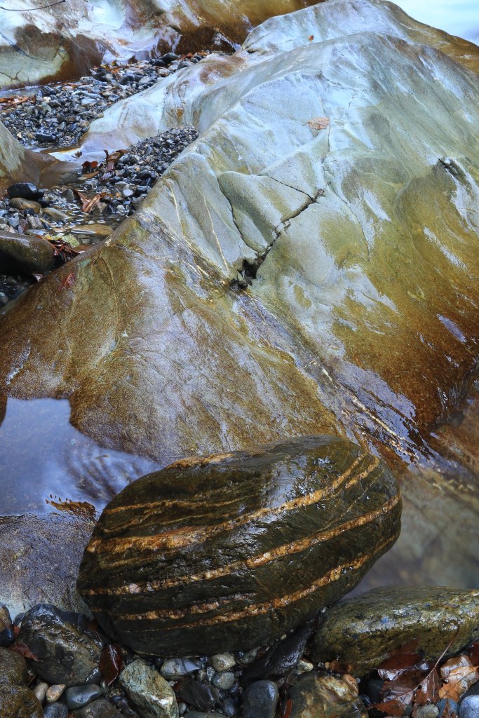
Kusatsu

I’ve been spending most of my outdoor photographic time in Saitama in the last few years. The time for overnight trips on my own passed several years ago, and morning outings on Sundays and holidays was all I could manage for a long time. However, a former coworker who accompanied me on some outings in the past had started working in Isesaki City, in Gunma, and when we talked about meeting up and going out somewhere, visiting someplace in Gunma seemed like a refreshing idea. We originally had plans to do a hike up one of the Hyakumeizan in Gunma, but he only got off work at 9am on his one free day that matched my schedule and couldn’t meet me until after 10:00. So I looked to Kusatsu instead.

Kusatsu Onsen Town is home to one of Japan’s three most famous hot springs. But it is not here that we went. We bypassed the town and made Chatsubomi Moss Park (チャツボミ苔公園), just a bit north and down slope of the town, our first stop. The purpose of our visit was to see an area of volcanic rock that is covered in thick, green moss thanks to a hot spring stream.

There was a parking area, visitor centre, rest room, rest house, and unfortunately, a 600 yen entrance fee. If there’s one thing I don’t care much for it’s an overdeveloped natural area. The hike to the moss was about 1.3 km for which the woman in the visitor centre gave a seemingly unrealistic long time to walk. There was a free shuttle bus however. Given the shortness of our day already and the 600 yen entrance fee we paid, we decided to take the bus, which left every few minutes.

From the bus stop above, we walked up a path for a short bit until we reached a boardwalk path that circumnavigated the natural pools of lava rock and the thick coatings of moss. The area was a interesting as I had seen in the photos on the Internet. It was no trouble to photograph abstractions in the scenery, but setting up a tripod on the narrow boardwalk meant frequently having to move it as other visitors approached.

The time we spent there was satisfactory and we soon returned to the car and drove back into town where we stopped for refreshments before driving up to the Kusatsu Shiranesan volcano. My hopes were to see the crater of the volcano with its light turquoise lake as the setting sunlight lit up the crater rim. At the top of the road there was in the past a large visitor area with parking lot, souvenir shop, food services, etc. As we passed one gassy area, my companion recalled that there had been an eruption here in January of 2018, and some skiers had to be rescued; one of them dead.

At the top, we were baffled by the parking lot being roped off and all the buildings boarded up. We found a service road where we parked the car. Soon an announcement played over the loudspeakers. It told us that the mountain was an active volcano at Level 1 (the lowest level of danger) and asked visitors not to go hiking on the mountain and or go to the crater. We went anyway.

The parking lot was cracked and tall weeds grew up. The tiled pedestrian walking path was cracking and the tiles already disintegrating. The buildings appeared derelict for longer than they actually should have been. Had this place remained closed since they shut down at the end of 2017, or had it been shut down longer? The last time I visited was in 2009, if I recall correctly. The whole complex looked like yet another abandoned tourist facility.

The announcement played regularly was we walked on the crater rim and photographed the last of the sunlight. When we returned to the car, the twilight in the sky was reflecting in a perfectly still pond. The mirrored silhouette of a protruding crag across the pond and a cloud in the sky as the last light left the clouds was too good to resist. We must have stayed another 30 to 40 minutes before finally heading back down and back home.

I am very pleased with the photographs from the trip. Please have a look at the few I have posted on Flickr.

Where Did the Summer Go?

Earlier this year, I was finishing up a submission of photographs for my stock agency. Since switching to digital, I haven’t been so assertive about sending out my photos, which is kind of ironic since one reason why I continue to use digital is because it has become very difficult to submit film to most publications outside Japan. But the real reason is that having two kids, a full-time job that’s 90 minutes away from home, and having extra odd jobs to help support my family means that time and money for photography isn’t what it used to be when I was single. And that’s actually the other important reason why I keep shooting digital. Maintenance of film photographs does require extra time and cost, the luxury of both I am lacking.

So, I was preparing the data to go along with the submission and I noticed that in recent years all my photography is done in a few regular annual outings: once in late December or early January, once in early May during Japan’s Golden Week holidays, once in mid-August during the O-Bon holiday, and once more on November 3rd or 4th which is a national holiday and the best time to shoot autumn scenery in the local mountains. Considering that I used to go climb mountains 8-12 times a year plus have several day trips out means that my accumulation of photographs has slowed considerably. I now have only a few morning outings in a year and if I am lucky, one trip for the NHK World program Journeys in Japan, which hasn’t been shooting since COVID came around.

Well, the summer holidays have passed now, and I actually had two plans to go out for exploring and hiking. The first was supposed to be a visit to a steep ravine deep in the mountains of Saitama. I new the location but when I arrived, I could not find any way to get down into the ravine. People had posted about a hike there but it seems getting down into the ravine was not so obvious. Instead I hiked up a ridge called Kuroiwa almost to a small hut but stopped just short to look at the view from a small lookout point. Though it was good to actually hike again and not just hunt for photographic subjects, I discovered that going down was much harder than I ever recall experiencing for a long time. My toes seemed to be ramming hard into the toe of my boots with every step. As well, I felt that the muscles used for breaking with every step hadn’t been given any exercise for two years, even though I have been going to a fitness centre on and off (when my schedule permits me) for the past two years.

The second hike was supposed to have been up one of the Hyakumeizan, Sukaisan, which I can see from a road not far from my house. However, it began raining two days before the hike and continued raining for six days straight. So that hike was postponed until next month or later.

Normally, I would have a couple of dozen photos to upload to Flickr and have a good story to tell. But I’m afraid there’s little to show for this year. Maybe I’ll try for two outings in autumn.

Walking to Gunma

Once there was a time when I traveled around Japan and even around the world to photograph and explore landscapes. These days, I am restricted to wherever I can go for a few hours in the early mornings. That means I spend my photography time fairly locally, and for the last few years I have been concentrating on exploring the mountain roads in western Saitama Prefecture. After moving to Kumagaya City, I am now within a half-hour’s drive of the local mountains, and there’s a convenient toll road that gets me way out into the heart of the mountain region in less than another half hour.

During the beginning of May there’s a holiday period known as Golden Week. I took advantage of one morning to wake up very early – at 2 am – and drive out to a road that was closed to public traffic. From the gate, I have always wondered what lay beyond as sheer cliffs of rock jutted upward from the steep green mountain slopes. So, at 4:20 am, I parked my car by the gate, shouldered my camera bag, and slung my tripod over my shoulder and proceeded to hike up the road. For the first 20 minutes or so, the road was pretty rugged. In one section I would have been pretty wary of driving my car over the rocks and dips. But after exiting a short tunnel, the road was nicely paved all the rest of the way. I mean, it looked to have been paved within the last year as there were only a few scratch marks where a fallen stone may have been scraped over the asphalt under the wheel of a truck. Mountain roads such as this one usually bear the scars and wounds of falling rock impacts or the spreading of cracks due to the slumping of the earth beneath the road. So this was fresh work here!

At the start of the hike, it was still pretty dim, and the scenery was not revealed in full colour glory yet. I passed some of those verticle climbs, a steep gorge, and dry runoff chutes cut into the rocks of the slopes. My plan was to keep hiking until I hopefully had some views in time for the sunrise, but it soon seemed that such views were not about to present themselves at any time soon if there even were any. So I relented to my desire to start photographing.

The road climbed gently and serpentine-like for a while before hitting a switchback and there it began climbing more steeply. I found chunks of limestone on the road but saw no sign of the parent rock until I rounded a bend and found a large limestone outcropping with a few caves facing out to the road. These caves were not deep and the usual cave formations such as stalactites, flowstones, and soda straws did not exist here. There were still some modest formations to discover and many broken pieces littered the ground outside the caves. I discovered several hooks attached to the cave walls and recognized this as a rock climbing practice site.

After exploring the cave area, I continued up the road until I finally came to the road closure at the other end. It was just after the exit of a long tunnel whose other end was in Gunma Prefecture. Two young men had driven up by car and were apparently disappointed that the road was closed. I continued into the tunnel, which became so dark that I could not see a piece of wood on the road and I kicked it accidentally.

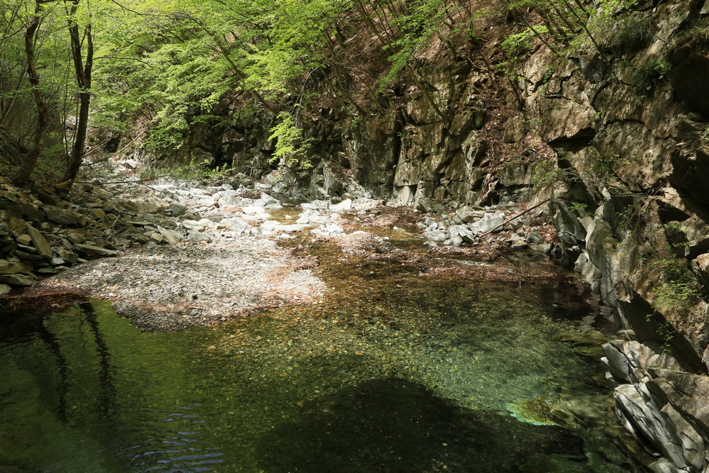
After reaching the Gunma side, I turned around and made the trek back to my car. In the light of the morning now, I found many beautiful spots where the river ran through gorges and ravines of diorite. I again made a few stops for photography.

I finally reached my car at 11:30 and began the drive back but stopped when I saw more limestone outcroppings with boulders of marble in the river. My next plan will be to ascend another road that I am sure I drove up some 18 years ago to a pass called Mikuni Touge. This crosses over to Nagano. I went to this road a couple of years ago but it was closed after a point. I may have to walk to Nagano when I visit there again.

Aside from photos, I also made a video of the excursion. It can be viewed here.

More photos are at Flickr here.

An Autumn Outing

It’s the truth about having a family. You just don’t get outside as much as you’d like. And though when the kids were younger I tried to get them to enjoy the outdoors, these days it’s only the walk to school that gets them outside. So my own outings are precious as they are spread far apart and last only three or four hours.

Last week, November 3rd was a holiday, and I stole away in the early hours and drove out to Nakatsukawa Keikoku deep in the mountains of Saitama. I had some targets in mind; however, as is often the case, I got sidetracked when I stopped to photograph the Nakatsu River and discovered a fascinating little ravine and gorge near the rest rooms. There were exposed section of diorite, and this intrigued me as this is now the second time I have found diorite in the mountains of Saitama. The mountains here are largely comprised of sedimentary rocks like chert and limestone and metamorphic rocks like schist. So, to discover exposed diorite – an igneous rock – sheds light on the geologic history of the area.

With most of my time used up here, I went on up the road a little further to find one more location where I could lose myself in photographing. I discovered a waterfall just off the road that had no proper access but could be reached with a little intrepidness.

Note: I am having a terrible time with this new WordPress. I have tried formatting the photographs a dozen times nearly and they come out poorly every time. The first photo is squished. The next three should be all the same size but they are not. I’m afraid this new WordPress is proving to be too frustrating to use.

Nakatsukawa – River and Canyon
Right near the restrooms at Onamesawa.
Looking up Onamesawa
The waterfall off the road at Aiharasawa.

Rains of 2020

The rainy season around here typically begins sometime in early-June though it may begin earlier or later depending on the year and any influences from El Nino or la nina. In my twenty years of rainy season experience, it usually begins with some rainy days prior to the official meteorological pronouncement that the baiuzensen (the Plum Rain Front) has come and the rainy season – tsuyu – is officially upon us. In many years, the final two weeks are filled with clear skies and sweltering hot weather. When the weather forecaster declares that the rainy season is over, I have many times responded by saying, “But it stopped raining two weeks ago!”

Unless you enjoy photographing wet scenery (as I do sometimes), it’s not very inspiring to wake up early and head out with an umbrella in one hand and a tripod in the other. In recent months, I have spent much more time on my other hobby: listening to music and researching about music history where it relates to heavy metal and progressive rock. My research and video presentation making keep me up late at night, so I don’t really want to think about getting up two hours later to drive out somewhere in the rain in hopes of finding something worthy of the time and mental effort (sleepy head!) required to make photographs seriously. Reflecting back on this year so far, I made two worthwhile trips in January and an unsuccessful hike in March. And that is all she wrote!

The good news is that during the period that I drove to work instead of taking the train, which was due to the threat of Covid-19, I found many lovely countryside scenes in other parts of Saitama which I had not yet explored. I even captured a few smart phone snaps that were not bad and made videos at a few places to include in videos I was making for our English School. However, I only brought the camera along once for the purpose of photographing scenery, and I was late leaving work that day and so I was only able to explore and shoot for about 20 minutes before the sun set behind the clouds and trees. That was back in April or May sometime.

Yes, that pesky virus has upset things a lot. Usually, I go away somewhere in July or August for an episode of Journeys In Japan. I always reckon that the gigs could stop any time, but I received a lot of praise for last year’s Hakusan episode and so I was certain I’d get a call again. However, location TV program shooting in Japan has been curtailed thanks to the virus.

So, with all the rainy days continuing week after week, bring heavy flooding to some parts of the country, and with the general discouragement towards traveling, I haven’t felt inspired to get out and do more exploring and photography.

But there’s a third hindering factor. As I discovered in January, many mountain roads were washed out in places during two typhoons we had last year. That means access to remote waterfalls and gorges, as well as hiking trails, has been cut off to vehicular traffic. Of course I could park and walk; I prefer to be on my feet anyway. But more walking adds to the time of trips that are already limited to a few hours away from home.

There is of course no really good reason for not going out if I really want to. I can try to get more sleep. I can still go to locations where the roads are intact. I can still bring adequate rain protection. I just haven’t really felt motivated to do so.